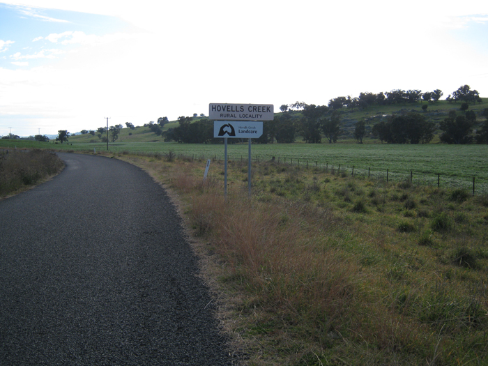
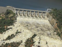
The properties on which the members of the Hovells Creek Landcare Group live and work are generally bounded by the Lachlan River and Wyangala Dam to the north and east, the Boorowa River catchment to the west and the Reids Flat road to the south in the central west region of New South Wales, Australia. The epicentre of our Landcare Group membership and project area is the roughly the intersection of Frogmore Road and Bennett Springs Road at Hovells Creek.
Latitude -34.0390
Longitude 148.8874
Nearest town: Cowra, NSW (approx. 40 km)
Nearest village: Wyangala Dam, NSW
NSW Local Government area: principally Boorowa Shire
NSW Natural Resource Management area: South East


