Author: Stan Baker
As far back as 2000, the small creek towards the eastern boundary of Bilby Downs exhibited a tendency to erode during moderate rain events. This took place at a point where the water descends approximately 6 metres over a distance of only 12 metres before emptying into the Lachlan. The following is a set of photographs with commentaries showing steps taken to mitigate erosion in this part of the creek. This project was partially funded through a Federal Government Caring for Our Country Community Environment Action Grant to Hovells Creek Landcare.
bilby
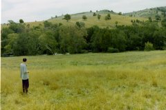
A - 1996-03 - Lachlan River North
Looking north over the Lachlan River in March 1996. My son (Scott Baker) is in the frame.
https://hovellscreeklandcare.org.au/images/bilby2/A-1996-03-Lachlan-River-North.jpg
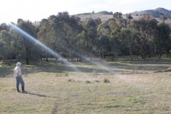
B - 2017-08 Lachlan River North
Same scene as "A", but taken in August 2017. The trees were planted around 1998. That's me (Stan Baker) in this latest shot.
https://hovellscreeklandcare.org.au/images/bilby2/B-2017-08-Lachlan-River-North.JPG
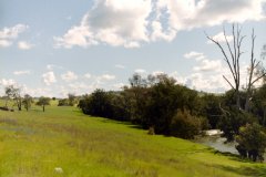
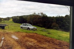
C -1996-09 - Lachlan River West
Looking west along the Lachlan in September 1996.
https://hovellscreeklandcare.org.au/images/bilby2/C-1996-09-Lachlan-River-West-1.jpg
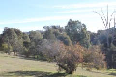
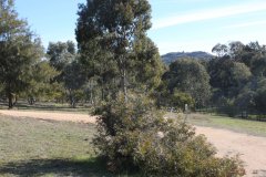
D - 2017-08 - Lachlan River West
Same scene as "C" but taken in August 2017.
https://hovellscreeklandcare.org.au/images/bilby2/D-2017-08-Lachlan-River-West-1.JPG
E - 1996-09 Lachlan River West
Also looking west along the river. The date was September 1996.
https://hovellscreeklandcare.org.au/images/bilby2/E-1996-09-Lachlan-River-West-2.jpg
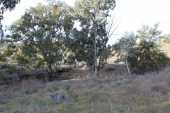
F - 2017-08 - Lachlan River West
Same as "E" but taken in August 2017.
https://hovellscreeklandcare.org.au/images/bilby2/F-2017-08-Lachlan-River-West-2.JPG
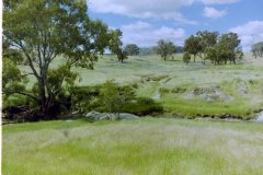
G - 2017-08 - Marymamma Creek East
Maryamma Creek looking east in December 1996.
https://hovellscreeklandcare.org.au/images/bilby2/H-2017-08-Marymamma-Creek-East.JPG
H - 1996-12 Marymamma Creek East
Same as "G" but taken in August 2017.
https://hovellscreeklandcare.org.au/images/bilby2/G-1996-12-Marymamma-Creek-East.jpg
September 2010. View looking up the creek.
This shows an early attempt to avoid erosion using a series of rubber mats. Alas they did not last long and were completely washed away in a major rain event a couple of months later.
January 2011. View looking down the creek towards the Lachlan.
The rains of December 2010 caused a massive loss of earth and opened a 4 metre deep chasm that was both ugly and dangerous and likely to further erode with more rain.
October 2014. Looking towards the Lachlan.
With funding approved, work commenced to reshape the banks and fill in the chasm. The earth works were carried out by Geoff Watson and his equipment.
October 2014
The banks take shape.
November 2014
75 tonnes of rocks of various sizes were delivered and distributed around the area being repaired. Two approximate “zuni” pools were created to catch water and dissipate energy. Smaller rocks were placed underneath, held down by the larger rocks. This photo shows the author moving some smaller rocks.
Early December 2014. View looking up creek.
With the rocks in place, the next step was to encourage grasses to grow as quickly as possible.
Late December 2014.
Planting grass seeds along the banks.
Mid February 2015.
The project reaches completion.


